A little orientation
Find a practical starting point in Southwest Philadelphia
Narrow the district question.
Woodland Avenue, Kingsessing, Paschall and Eastwick are guide references, not interchangeable answers to a commute, outing or housing decision.
Let the destination set the trip.
Confirm the business or public place you want to reach before choosing a route through the guide’s broad transit discussion.
Treat flood questions separately.
For an Eastwick property decision, use official flood guidance and ask about the specific address rather than relying on a district-wide impression.
A closer look
An errand, a visit, a property question
Use the guide to choose your next focus, then work from the source appropriate to that decision.
Choose a confirmed food destination.
Use a named Woodland Avenue business from the guide as a lead to research directly, including how the business describes its own food. Plan the trip to that confirmed address and the return with purchases, rather than relying on a general corridor description.
A useful questionWhich confirmed business and purchase will shape your Woodland Avenue errand?
Source & next step ↗Start with the garden’s visitor guidance.
Check Bartram’s Garden’s own visit and program information before choosing a trip around it. Confirm the access and activity relevant to your group, and keep any organized program distinct from a general visit so the plan matches what the operator offers.
A useful questionWhat kind of garden visit do you want, and what needs confirming first?
Source & next step ↗Bring the property into the discussion.
If Eastwick is part of your home search, use the City’s flood guidance and linked resources to prepare address-specific questions. Ask the owner and an appropriate professional about documented storm history and unresolved conditions rather than inferring the answer from the district label.
A useful questionWhich flood-related questions require evidence about the particular property you are considering?
Source & next step ↗Southwest Philadelphia stands out because residents rely heavily on hyper local knowledge. People know which streets stay quiet, which corners connect easily to transit, which parks fill up on weekend mornings, and which routes change during rush hour.
This guide brings together those details to help you understand Southwest Philadelphia the way longtime residents describe it. Instead of focusing on stereotypes or generalizations, we break down the neighborhood block by block, corridor by corridor, so you can see how Southwest really works.
The First Rule of Southwest Philly: It’s Block by Block
If you ask longtime residents to explain Southwest Philadelphia, the first thing they usually tell you is that the neighborhood cannot be summarized in a single sentence. The most important rule locals follow is simple. You judge Southwest block by block.
Two streets that sit only a few minutes apart can feel completely different. One block might be quiet with well kept homes and longtime neighbors who know each other’s routines. Turn the corner and the atmosphere changes. Different traffic, different storefronts, different noise, sometimes a completely different rhythm of daily life.
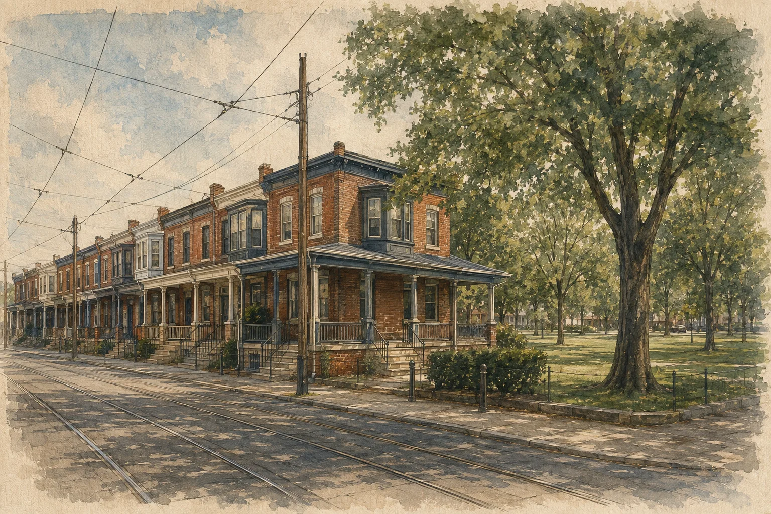
This is why locals rarely describe Southwest in broad terms like good or bad. Instead they describe intersections, trolley stops, or specific corridors. A person might say they live near Woodland, near the 49th Street trolley stop, or closer to Elmwood. These references carry more meaning than the neighborhood name itself.
The phrase many residents use is that you do not buy the label, you buy the block. Someone moving into the area quickly learns that reputation spreads in very small geographic circles. One stretch of a street may be known for stable longtime homeowners. A few blocks away might have a completely different reputation.
Timing also plays a role. A place that feels calm in the morning may feel very different after school hours or late at night. Locals talk about routes and hours almost as much as they talk about streets.
Understanding Southwest starts with accepting that it is not a single neighborhood experience. It is a patchwork of small environments connected by a few major corridors and transit lines.
Once you see the area this way, the neighborhood begins to make much more sense.
Where Southwest sits
- Woodland Avenue
- The 49th Street trolley stop
- Bartram’s Garden
- John Heinz National Wildlife Refuge
Schematic · not to scale
Where Southwest Actually Begins (The Boundary Debate)
Even defining the boundaries of Southwest Philadelphia is not as straightforward as a map might suggest. Locals often disagree about where Southwest starts and where West Philadelphia ends.
One of the most common reference points in these debates is Baltimore Avenue. Many residents treat Baltimore Avenue as a cultural dividing line. North of it, people are more likely to describe the area as West Philadelphia. South of it, the identity begins to shift toward Southwest.
Another important marker is the railroad tracks that run through parts of the district. When locals say someone lives across the tracks, they are not only talking about geography. They are also describing differences in housing patterns, development history, and everyday neighborhood reputation.
Places like Kingsessing, Cobbs Creek, and the areas surrounding Bartram’s Garden often appear in these discussions. Some residents consider them firmly part of Southwest, while others treat them as transitional areas that overlap with West Philly.
Eastwick sits at the far end of the neighborhood map and complicates the conversation even further. Because of its physical isolation and different development history, many residents talk about Eastwick as if it operates almost like its own neighborhood inside Southwest.
These boundary conversations may seem like small details, but they reveal something important. Southwest Philadelphia is defined less by official borders and more by local understanding. Knowing which street people consider a dividing line often tells you more about the neighborhood than a city map ever could.
How Southwest divides up
The first rule locals follow: you judge Southwest block by block. These are the corridors and sub-areas they name.
Woodland Avenue
The cultural spineThe closest thing the neighborhood has to a main street. Trolley lines run directly along it, and the corridor has developed into a hub for African and Caribbean businesses — restaurants, shops and grocery stores serving communities connected to West Africa and the Caribbean.
Kingsessing
Toward West PhiladelphiaThe neighborhood of contradictions. Rows of well-maintained homes and long-established families on some blocks; vacancy and uneven investment on others. Blocks near the 49th Street trolley stop and Baltimore Avenue draw more favorable mentions.
Paschall and deep Southwest
Farther southFarther from Woodland's commercial activity, so the atmosphere feels noticeably different. Rowhomes and small residential blocks, some made up almost entirely of longtime residents who have lived there for decades. Housing is often more affordable than in much of the city.
Eastwick
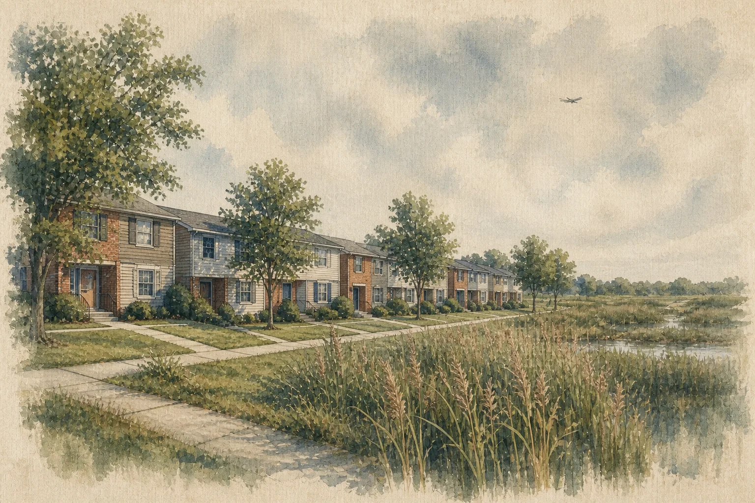
The far southwestern edgeTalked about almost as if it exists on its own island inside Philadelphia. Island Avenue functions like a barrier, and the neighborhood lacks the walkable commercial corridors found along Woodland. It sits within a floodplain, so weather forecasts carry a different meaning here.
Woodland Avenue: The Cultural Spine of Southwest
If Southwest Philadelphia has a central artery, it is Woodland Avenue.
Running diagonally through the neighborhood, Woodland connects several parts of Southwest while serving as one of its busiest commercial corridors. For many residents, the street is the closest thing the neighborhood has to a main street.
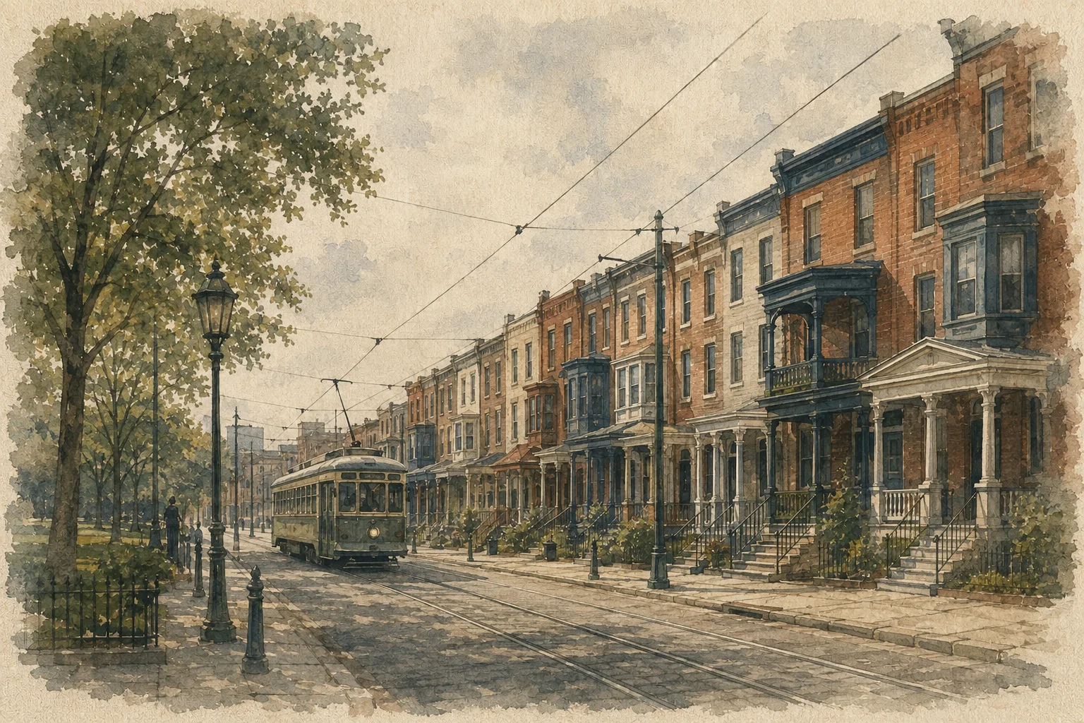
Walking along Woodland, you see a steady mix of small businesses, restaurants, transit stops, and everyday street activity. Trolley lines run directly along the avenue, making it one of the easiest routes through the area and one of the most visible parts of daily life.
Certain intersections along Woodland carry particular weight in local conversations. Corners like 63rd and Woodland show up again and again when residents describe the neighborhood. These intersections become landmarks that help people orient themselves and describe where things are happening.
The importance of Woodland goes beyond convenience. It acts as a social center where many different communities intersect. Residents who grew up in Southwest often speak about Woodland as the place where the neighborhood’s personality becomes most visible.
Because of this, anyone trying to understand Southwest Philadelphia eventually ends up on Woodland Avenue. It is where much of the neighborhood’s culture, commerce, and conversation happens.
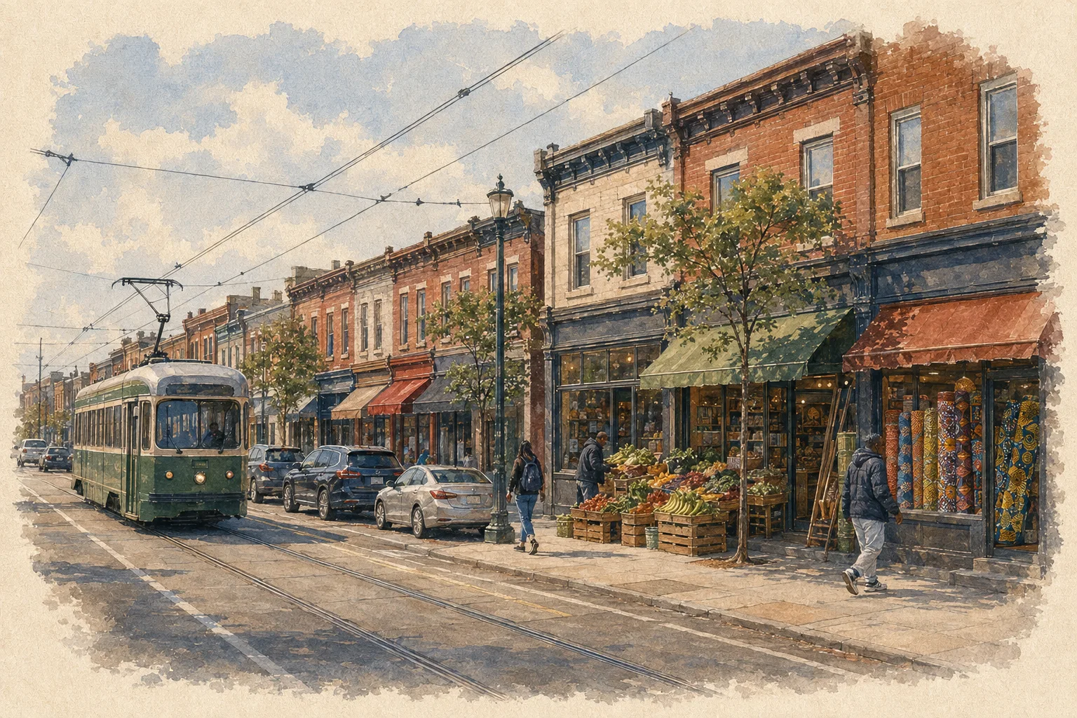
The Woodland Corridor: African, Caribbean, and Immigrant Southwest
Woodland Avenue also reflects one of the most important cultural realities of Southwest Philadelphia. The corridor has developed into a vibrant hub for African and Caribbean businesses.
Many restaurants, shops, and grocery stores along Woodland serve communities connected to West Africa and the Caribbean. The street has gradually become known as a place where these cultures are visible through food, language, storefronts, and everyday interaction.
Some locals refer to parts of the corridor with nicknames that highlight its African influence. At the same time, residents are careful not to oversimplify the diversity that exists there. Businesses represent a wide range of countries and cultural traditions, and longtime residents often point out that the corridor reflects multiple communities rather than a single identity.
This cultural presence gives Woodland a distinctive energy that sets it apart from other commercial streets in Philadelphia. It is one of the places where Southwest feels most alive and connected to global communities.
For many locals, this corridor represents something the rest of the city often overlooks. While other neighborhoods receive most of the attention in food and culture discussions, residents of Southwest see Woodland as one of the city’s most authentic cultural streets.
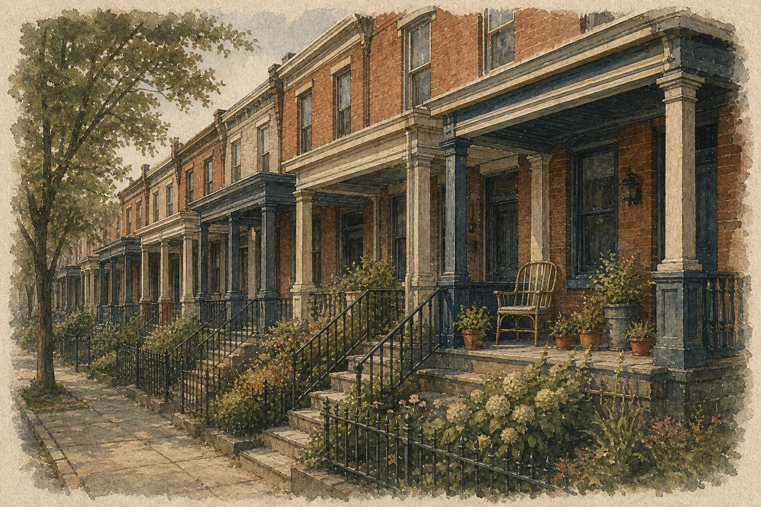
Woodland Food Knowledge: Where Timing Matters
One of the fastest ways to spot someone who knows Woodland Avenue well is how they talk about food along the corridor.
Locals rarely just recommend a restaurant name. Instead they talk about when to go.
Many places along Woodland operate on rhythms that depend on preparation schedules, daily demand, and neighborhood traffic. Food that is technically available all day may taste very different depending on the hour you arrive.
Some dishes take time to reach their best flavor after being cooked or marinated. Regular customers know that arriving too early means the food may not have developed its full taste yet. On the other hand, arriving too late can mean that the most popular dishes are already gone for the day.
This timing knowledge is especially important for certain Caribbean and West African restaurants along the corridor. Experienced customers plan their visits in the late afternoon or early evening window when food has been cooking long enough but before the most popular items sell out.
This kind of detail rarely appears in typical restaurant guides. It is the kind of knowledge that spreads through word of mouth among people who visit the corridor regularly.
In Southwest Philadelphia, understanding the timing of a place is often just as important as knowing the address.
Kingsessing: The Neighborhood of Contradictions
Kingsessing is one of the areas that best illustrates the complexity of Southwest Philadelphia.
Ask five residents about Kingsessing and you will often hear five slightly different answers. Some describe it as a neighborhood with strong community ties and pockets of stability. Others focus on its challenges and warn newcomers to research carefully before moving there.
Both perspectives exist because Kingsessing contains a wide range of blocks and housing patterns. Parts of the neighborhood have rows of well maintained homes and long established families who have lived there for decades. Other parts struggle with vacancy, crime, and uneven investment.
This contrast is why locals rarely make blanket statements about Kingsessing. Instead they qualify their advice with phrases about specific streets, transit stops, or directions within the neighborhood.
At the same time, Kingsessing has attracted attention from people looking for relatively affordable housing in Philadelphia. Some residents see the neighborhood as a place that could gradually change over time, similar to how other parts of the city developed years earlier.
For now, the reality remains complicated. Kingsessing can feel welcoming and stable on one block and very different only a few streets away.
The Micro-Geography of Kingsessing
Within Kingsessing itself, residents often narrow their descriptions down even further.
Certain areas closer to the 49th Street trolley stop tend to receive more favorable mentions because of transit access and proximity to other West Philadelphia neighborhoods. Being near Baltimore Avenue also changes how people perceive the area because of the restaurants, shops, and foot traffic that corridor attracts.
Locals sometimes say that parts of Kingsessing closer to the east and north edges feel more connected to surrounding neighborhoods. Areas deeper into the neighborhood can feel more isolated depending on the block.
Another phrase that frequently comes up in conversations about Kingsessing is crossing the tracks toward Cedar Park. That reference reflects how residents mentally divide the area based on transit lines and nearby commercial corridors.
These micro distinctions highlight how residents evaluate places in Southwest Philadelphia. Instead of thinking about neighborhoods as large uniform areas, locals think in terms of small geographic shifts.
A change of just a few blocks can alter how people describe safety, walkability, and overall quality of life.
Understanding these subtle distinctions is part of learning how Southwest Philadelphia really works.
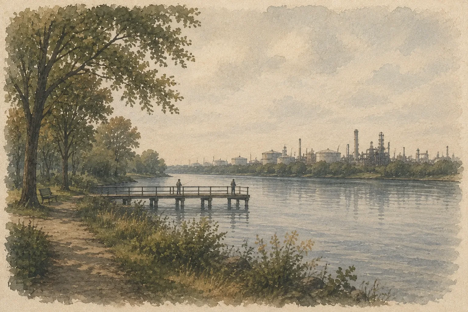
Paschall and Deep Southwest
Moving farther south through the neighborhood brings you into Paschall and the areas locals often describe as deep Southwest. These parts of the district sit farther from the commercial activity of Woodland Avenue and the transitional edges near West Philadelphia. Because of that distance, the atmosphere can feel noticeably different.
Housing here is often more affordable than in many other parts of the city. Rowhomes and small residential blocks dominate the landscape, and some streets are made up almost entirely of longtime residents who have lived there for decades. That stability is one reason some people are drawn to the area when searching for housing within Philadelphia.
At the same time, Paschall carries a tougher reputation than some of the northern sections of Southwest. Locals frequently mention that the deeper parts of the neighborhood require more attention to the same block level details that define the rest of the district. Streets that feel stable and neighborly may sit just a few blocks from areas that struggle with vacancy or safety concerns.
Because of these contrasts, people who know Southwest tend to describe Paschall with caution but not dismissal. It is rarely framed as a place that outsiders should avoid entirely. Instead the advice almost always circles back to the same principle that applies throughout the neighborhood. You learn the block before you judge the area.
Deep Southwest therefore represents another layer of the neighborhood’s complexity. It offers affordability and longtime community ties, but it also requires the kind of local awareness that residents rely on when navigating the district.
Eastwick: The Most Isolated Part of Southwest
At the far southwestern edge of the city sits Eastwick, a neighborhood that many residents talk about almost as if it exists on its own island inside Philadelphia.
Geographically, Eastwick feels separated from much of the rest of the city. Major roads and infrastructure create physical boundaries that limit how easily the neighborhood connects with surrounding areas. Island Avenue, in particular, functions like a barrier that divides Eastwick from other parts of Southwest.
Because of this layout, Eastwick often lacks the walkable commercial corridors found in places like Kingsessing or along Woodland Avenue. Residents frequently travel outside the neighborhood for everyday errands, groceries, and entertainment.
The physical landscape contributes to this sense of separation. Large open areas, industrial zones, and transportation infrastructure surround much of Eastwick, reinforcing the feeling that it sits on the outer edge of the city rather than inside its core.
Despite that isolation, Eastwick has a strong sense of community identity. Many residents have deep roots in the neighborhood and maintain close connections with neighbors and local organizations. The area’s distance from the rest of Philadelphia sometimes strengthens these ties because residents rely more heavily on each other.
Understanding Eastwick means recognizing that it operates differently from most other parts of Southwest. Its geography, history, and daily rhythms follow their own pattern.
Eastwick and the Floodplain Reality
One of the defining realities of Eastwick is its relationship with water.
The neighborhood sits within a floodplain, which means heavy rainstorms and severe weather can quickly create flooding problems in certain areas. For residents, this is not an occasional surprise but a long standing part of life in the neighborhood.
Storms that bring large amounts of rainfall can cause water to collect along roads and low lying areas. Some streets become known for repeated flooding events, especially near sections close to creeks and wetlands surrounding the neighborhood.
Over the years, residents have watched the city attempt different approaches to manage the problem. Flood barriers, drainage improvements, and environmental planning projects have all been discussed or implemented in various forms.
Still, the floodplain reality shapes how people talk about Eastwick. Weather forecasts carry a different meaning for residents here than for people living in other parts of Philadelphia. Heavy rain can trigger concern about roads, basements, and travel routes in ways that outsiders may not expect.
Because of this, Eastwick’s geography plays a direct role in the daily lives of the people who live there.
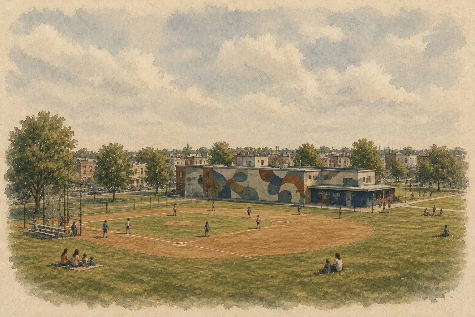
Eastwick’s Community Identity
While flooding and isolation often dominate outside conversations about Eastwick, residents frequently highlight another side of the neighborhood that outsiders miss.
Eastwick has a strong tradition of community organizing and neighborhood events. Residents gather for local celebrations, recreation programs, and seasonal activities that help maintain a sense of connection despite the neighborhood’s physical separation from other parts of the city.
Parks and recreation spaces serve as important meeting points. Events held in these spaces bring neighbors together and create opportunities for residents to strengthen local relationships.
This community energy becomes especially visible after storms or difficult events. When the neighborhood faces challenges, residents often respond by organizing cleanups, sharing resources, and checking on neighbors who may need help.
These responses reinforce a sense that Eastwick is not simply a place defined by environmental challenges. It is also a place where people actively support one another and work to maintain a shared sense of identity.
For many residents, this community strength is one of the neighborhood’s most important qualities.
The Memory of Old Eastwick (The Meadows)
Another layer of Eastwick’s identity comes from a history that many longtime residents still remember clearly.
Before major redevelopment projects in the twentieth century, parts of the area were known as The Meadows. Families lived in small communities that developed over generations, creating neighborhoods that were tightly connected through family ties, local businesses, and shared history.
Urban renewal projects dramatically changed that landscape. Large sections of the original neighborhood were cleared as part of redevelopment plans, forcing many residents to relocate and altering the physical layout of the community.
Even decades later, the name The Meadows continues to appear in conversations among longtime residents. It represents more than a geographic label. It symbolizes a lost version of the neighborhood that older generations remember with strong emotion.
Stories about streets that once existed, homes that were removed, and communities that were displaced remain part of the collective memory of Eastwick. These memories shape how many residents view the neighborhood today.
Understanding Eastwick therefore requires recognizing both the present day community and the historical experiences that still influence how people talk about the area.
Transit: One of Southwest’s Biggest Advantages
Despite the challenges described in earlier sections, Southwest Philadelphia has one major advantage that residents frequently mention. The neighborhood is well connected to the rest of the city through public transportation.
Several trolley lines run through Southwest, providing direct routes toward Center City and other parts of Philadelphia. These lines follow corridors that helped shape the development of the neighborhood many decades ago.
For residents who rely on public transportation, these trolleys provide consistent and relatively fast access to other areas of the city. Stops along major streets like Woodland Avenue make it possible to move through the neighborhood without needing a car.
This transit infrastructure plays a major role in how locals evaluate different blocks. Homes located near trolley stops often feel more connected to the broader city because residents can easily travel to work, school, or other neighborhoods.
The presence of these transit routes is one reason Southwest developed the way it did. Streetcar lines helped define many of the commercial corridors that still shape daily life in the neighborhood today.
The Route Logic Locals Use
Beyond simply knowing which transit lines exist, residents of Southwest Philadelphia develop their own strategies for navigating the neighborhood and the surrounding city.
Certain bus routes play an important role for people traveling toward Philadelphia International Airport or connecting to regional transit hubs. Understanding which routes connect efficiently can save time and avoid unnecessary transfers.
Locals also share practical advice about where to park and how to reach transportation hubs without creating extra complications. These small pieces of knowledge often circulate through neighborhood conversations and community discussions.
The advice sometimes sounds extremely specific to outsiders, but it reflects experience gained from daily travel. Residents learn which routes move fastest during rush hour, which stops offer the easiest transfers, and which options are worth avoiding.
Over time this information becomes part of the local knowledge that defines Southwest. It shows how residents adapt to the neighborhood’s geography by developing their own systems for moving through the city efficiently.
Roads and Timing: Elmwood Avenue and Rush Hour
In Southwest Philadelphia, certain roads carry reputations that locals learn quickly. Elmwood Avenue is one of the most frequently discussed.
The street runs through several parts of Southwest and functions as an important traffic corridor. Because of that role, the pace of driving along Elmwood can change dramatically depending on the time of day.
Residents often describe the road as fast moving compared with surrounding residential streets. During rush hour the avenue becomes crowded with commuters traveling toward major roads and nearby industrial areas. At other times traffic moves quickly enough that pedestrians and local drivers pay close attention before entering intersections.
Another pattern locals mention involves the hours when nearby schools dismiss students. Traffic increases, drivers move impatiently through intersections, and the street becomes more chaotic than it appears during quieter parts of the day.
For newcomers to the area, Elmwood often looks like an ordinary urban road. People who live nearby understand that the experience of using the street can vary widely depending on timing. That timing awareness is part of everyday neighborhood knowledge.
The Timing Rule: Southwest Changes by Hour
One of the most important pieces of local knowledge in Southwest Philadelphia is that the same place can feel very different depending on the hour.
During the day, commercial corridors such as Woodland Avenue are filled with foot traffic, transit riders, and neighborhood activity. Stores are open, restaurants are preparing food, and trolleys move steadily through the avenue.
Later in the evening the rhythm changes. Businesses close, traffic patterns shift, and the atmosphere becomes quieter or sometimes more unpredictable depending on the block.
Timing also affects other parts of the neighborhood. After school hours bring increased traffic along certain roads. Weekend mornings can bring visitors to parks and nature areas. Storm forecasts change how residents in Eastwick plan their day.
These patterns may sound ordinary, but in Southwest they are part of how people judge the comfort and practicality of different locations. When locals describe a street, they often mention not only where it is but also when it feels most active or most calm.
Learning these timing patterns helps newcomers understand why residents often give advice that includes both place and hour.
Safety the Way Locals Actually Describe It
Discussions about safety in Southwest Philadelphia rarely follow a simple pattern. Instead of making broad statements about whether the neighborhood is safe or unsafe, residents usually describe conditions that depend on location and timing.
One common theme is the difference between daytime and nighttime activity. Many commercial corridors feel busy and active during daylight hours when stores are open and transit riders are moving through the area.
At night the environment changes. Some blocks remain calm residential streets while others experience different types of activity. Because of these variations, locals often recommend paying attention to specific streets and hours rather than relying on general impressions.
Another piece of advice involves everyday precautions that are common in many urban neighborhoods. Residents remain aware of their surroundings, avoid leaving valuables visible in cars, and stay attentive when walking through unfamiliar blocks.
These habits reflect the same principle that defines many aspects of Southwest life. Context matters. Safety is often discussed in terms of specific locations, times of day, and patterns that locals have learned through experience.
Everyday Frustrations: Dumping, Infrastructure, and Neglect
While conversations about Southwest Philadelphia often focus on safety or housing, many residents point to a different set of everyday frustrations that affect quality of life.
Illegal dumping is one of the most common complaints. Vacant lots and less developed areas sometimes attract discarded furniture, construction debris, and other trash. Residents frequently express frustration about the effort required to keep these areas clean.
Infrastructure problems also appear in neighborhood discussions. Streets and sidewalks sometimes suffer from neglect or slow repairs. Issues such as blocked bike lanes, abandoned vehicles, or deteriorating pavement can make certain areas feel less cared for than others.
These concerns may not attract as much attention as larger city debates, but they shape how residents experience their neighborhood every day. When people talk about improving Southwest, they often mention basic maintenance and cleanup as much as larger redevelopment projects.
Addressing these everyday problems would change how many residents feel about the neighborhood’s future.
The Strange Details Only Locals Mention
Every neighborhood contains small pieces of knowledge that rarely appear in official guides. Southwest Philadelphia is full of these details.
Certain intersections, monuments, and corners carry meanings that longtime residents recognize instantly. A particular block might be known for a landmark, a community gathering spot, or a story that only people from the area remember.
Historic cemeteries and older structures scattered around the neighborhood also contribute to these local references. Some sites draw curiosity because of unusual features or stories connected to the area’s past.
Even the way people pronounce certain street names or describe particular intersections can signal whether someone is familiar with Southwest. Locals often recognize each other through these small details of language and memory.
These unusual references may seem minor, but they form part of the cultural texture of the neighborhood. Knowing them helps transform a simple map into a lived landscape filled with stories, landmarks, and shared experiences.
How Locals Prove They’re From Southwest
In Southwest Philadelphia, people often recognize each other’s connection to the neighborhood through small details in conversation. Instead of simply saying they are from Southwest, longtime residents tend to mention specific schools, churches, or intersections that shaped their daily life.
Names like Bartram High School, Morton Elementary, or older parish schools appear frequently when people describe where they grew up. These references carry meaning for anyone familiar with the neighborhood because they connect individuals to particular generations and sections of Southwest.
Churches and parishes serve a similar role. Institutions such as St. Clement’s and other local congregations have been part of neighborhood life for decades, and mentioning them often signals deep roots in the community.
Exact intersections are another form of neighborhood identification. Residents might mention a corner, a block number, or a nearby landmark when describing where they lived or where relatives lived. For locals, these details are enough to place someone immediately within the mental map of Southwest.
These references act almost like neighborhood credentials. When people share them, they demonstrate familiarity with the area’s history, institutions, and everyday geography.
The Memory Map of Southwest
Beyond the physical streets of Southwest Philadelphia lies another layer that exists mainly in memory. Longtime residents often describe the neighborhood through stories about places that once defined everyday life.
Older commercial traditions, such as sidewalk sales along Woodland Avenue, remain vivid in these recollections. Events like these turned the corridor into a social gathering space where neighbors interacted, businesses attracted customers, and families spent time together.
Certain intersections and storefronts also remain important landmarks in neighborhood memory. Even when buildings change or businesses close, the stories connected to those locations continue to circulate among residents.
These memories form what could be called a memory map of Southwest. It includes streets that look different today, businesses that no longer exist, and gatherings that once shaped community life.
For many people who grew up in the neighborhood, these memories still define how they understand Southwest Philadelphia. The physical landscape may evolve, but the emotional map of the neighborhood continues to guide how residents talk about it.
Why Locals Defend Southwest
Despite the challenges discussed throughout this guide, many residents feel a strong sense of loyalty toward Southwest Philadelphia.
Part of this loyalty comes from the belief that the neighborhood is often misunderstood or overlooked in broader conversations about the city. Other parts of Philadelphia tend to receive more attention in discussions about culture, restaurants, and development.
Residents of Southwest frequently point out that their neighborhood contains its own unique mix of cultures, businesses, and history that outsiders rarely see. The diversity along Woodland Avenue, the community ties in Eastwick, and the longtime families spread across the district all contribute to this sense of identity.
Because of this, conversations about Southwest sometimes include a defensive tone. Locals are quick to correct misunderstandings or stereotypes they believe misrepresent the neighborhood.
That reaction reflects a deeper attachment to the place. Many residents see Southwest not only as a location but as a community that deserves recognition for its culture, resilience, and long history within Philadelphia.
What residents name on each side
The guide's own closing position: Southwest contains both challenges and strengths, and appreciating it means acknowledging both.
- Transit. Several trolley lines run through Southwest with direct routes toward Center City.
- Woodland Avenue, seen by residents as one of the city's most authentic cultural streets.
- Bartram's Garden, with gardens, walking paths and riverfront views along the Schuylkill.
- The John Heinz refuge, offering bird watching and nature exploration rarely associated with an urban neighborhood.
- Affordability, and blocks of longtime homeowners who have been there for decades.
- Illegal dumping. Vacant lots attract discarded furniture, construction debris and other trash.
- Infrastructure. Streets and sidewalks sometimes suffer from neglect or slow repairs.
- Blocked bike lanes, abandoned vehicles and deteriorating pavement on some blocks.
- Flooding in Eastwick, where heavy rain raises concern about roads, basements and travel routes.
- Errands outside the neighborhood in Eastwick, which lacks walkable commercial corridors.
The Local Measuring Sticks
When residents evaluate different parts of Southwest Philadelphia, they rarely rely on the same factors used in typical real estate listings or city guides. Instead they use a set of practical measuring sticks shaped by everyday experience.
One important factor is proximity to Woodland Avenue. Being near this corridor often means easier access to transit, restaurants, and neighborhood activity.
Transit access in general plays a major role. Blocks close to trolley lines or major bus routes tend to feel more connected to the rest of the city.
Another consideration involves whether a location sits across the railroad tracks from other parts of the neighborhood. This distinction can influence how people perceive the surrounding blocks.
Environmental factors also appear in these evaluations. In Eastwick, residents pay attention to whether a particular area lies within sections that are more prone to flooding.
Finally, the reputation of individual blocks matters enormously. Locals often judge a street based on the people who live there, the condition of the homes, and the patterns they observe day after day.
These measuring sticks may not appear on official maps, but they shape how residents understand Southwest Philadelphia.
The Unwritten Rules of Southwest Philadelphia
Anyone who spends enough time in Southwest eventually learns a set of informal rules that guide how people move through the neighborhood.
The most important rule is to focus on individual blocks rather than general labels. Understanding the specific street often tells you more than the neighborhood name itself.
Another rule involves timing. The atmosphere of certain corridors can shift dramatically depending on the hour, so locals often plan their routines around those patterns.
Residents also emphasize listening to people who already live in the area. Advice that sounds extremely specific, such as recommendations tied to particular intersections or transit stops, usually comes from firsthand experience.
Understanding the geography of the neighborhood is equally important. Places like Woodland Avenue, Kingsessing, Paschall, and Eastwick each follow their own rhythms and histories.
Finally, longtime residents recognize that Southwest Philadelphia contains both challenges and strengths. Appreciating the neighborhood means acknowledging both sides while paying attention to the small details that define everyday life.
Learning these unwritten rules is often the difference between seeing Southwest as a confusing patchwork and understanding it as a neighborhood with its own internal logic and character.
Make it yours
Your Southwest starting checklist
A short list to turn what you read into your own next steps.
Saved checks stay on this device when browser storage is available. This is a personal planning list, not a property inspection or professional assessment.
Sources & next steps
Useful advice should
show its working.
These resources support the reader tools above and help you check details for your own address, date, or plans.
- SEPTA trip planner
Plan your date, direction and return journey; check service and accessibility details.
- Bartram’s Garden visitor information
Check the garden’s own visit, access and program information.
- Philadelphia flood guidance
Find official flood preparation and response guidance and linked resources.
These tools guide a narrower next step. They do not verify all businesses, certify flood risk or present routine cleaning as flood prevention.
Keep exploring